| Auteur | Collectif |
|---|---|
| Editeur | GILBERT GROSVENOR |
| Impression | 1950 |
| Etat | Etat d'usage |
| Disponibilité | 1 en stock |
| Prix |
|
| Référence | R260129689 |
|---|---|
| Classement Dewey | 912 |
| Fiche créée le | 07/05/2012 |
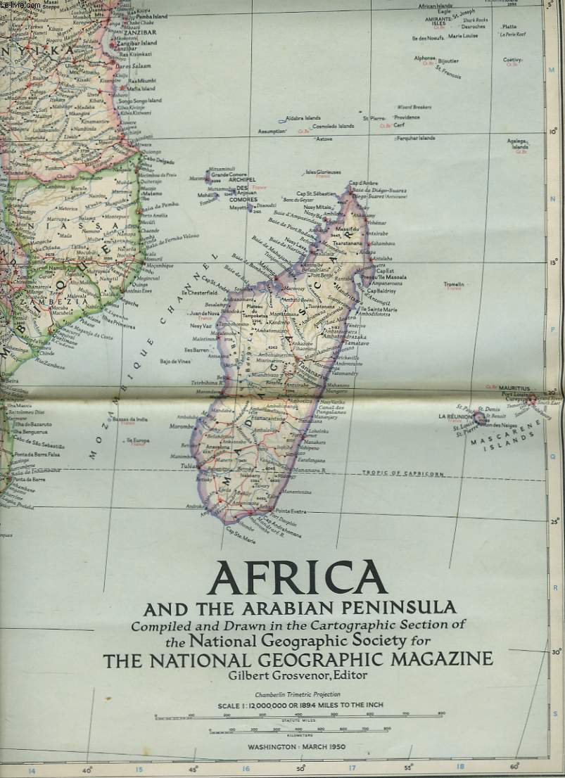
Carte / map. africa and the arabian peninsula compiled and drawn in the cartographic section of the national geographic society for the national geographic magazine. scale 1/12.000.000 or 189.4 miles to the inch. par Collectif
GILBERT GROSVENOR. 1950. In-Folio. Broché. Etat d'usage, Couv. légèrement passée, Dos satisfaisant, Intérieur frais. Carte de 72 x 80 cm illustrée en couleurs. Echelle 1:12.000.000.. . . . Classification Dewey : 912-Atlas, cartes et plans
Classification Dewey : 912-Atlas, cartes et plans
Chaque commande est traitée en moins de 2 jours ouvrés. Expédition du lundi au vendredi, toute l'année.
Ouvert du mardi au samedi de 10h à 18h, toute l'année
Abonnez-vous à notre newsletter