| Auteur | Collectif |
|---|---|
| Editeur | MINISTERE DES TRAVAUX PUBLICS DES TRANSPORTS ET DU TOURISME - INSTITUT GEOGRAPHIQUE NATIONAL |
| Impression | 1960 |
| Etat | Bon état |
| Disponibilité | 1 en stock |
| Prix |
|
| Référence | R320045904 |
|---|---|
| Classement Dewey | 912 |
| Fiche créée le | 17/03/2014 |
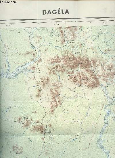
1 carte couleurs depliante - dagela - carte de l'afrique centrale au 1/200 000e - feuille nc-34-xiii / republique du tchad/ dimension 65 cm x 75 cmenviron. / 1ere edition en novembre 1960. par Collectif
MINISTERE DES TRAVAUX PUBLICS DES TRANSPORTS ET DU TOURISME - INSTITUT GEOGRAPHIQUE NATIONAL. 1960. In-Plano. En feuillets. Bon état, Couv. convenable, Dos satisfaisant, Intérieur frais. 1 CARTE COULEURS DEPLIANTE - DAGELA - CARTE DE L'AFRIQUE CENTRALE AU 1/200 000e - FEUILLE NC-34-XIII / REPUBLIQUE DU TCHAD/ DIMENSION 65 Cm X 75 CmENVIRON.. . . . Classification Dewey : 912-Atlas, cartes et plans
Classification Dewey : 912-Atlas, cartes et plans
Chaque commande est traitée en moins de 2 jours ouvrés. Expédition du lundi au vendredi, toute l'année.
Ouvert du mardi au samedi de 10h à 18h, toute l'année
Abonnez-vous à notre newsletter