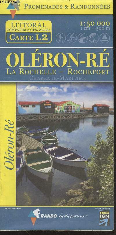
Carte Littoral (L2) : Oléron - Ré : La Rochelle, Rochefort, Charente-Maritime. 1:50 000 (1cm = 500m) de Collectif | Achat livres - Ref RO20231351 - Page 20 - le-livre.fr

Achetez cet articleCarte littoral (l2) : oléron - ré : la rochelle, rochefort, charente-maritime. 1:50 000 (1cm = 500m)

Achetez cet article issu de nos LivresCarte littoral (l2) : oléron - ré : la rochelle, rochefort, charente-maritime. 1:50 000 (1cm = 500m)
RO20231351

Caractéristiques détaillées

Auteur Collectif
Editeur Rando Editions / Données IGN
Impression
Etat Bon état
Disponibilité 48 en stock
Prix
  • 14,90 €
Référence RO20231351
ISBN 10 2841824209
ISBN 13 978-8-2841-8242-0
EAN 13 9782841824205
Classement Dewey 912
Fiche créée le 09/12/2020
Description
Rando Editions / Données IGN. 2009. In-Plano. En f... Plus d'informations.

Commander ce produit

Acheter cet article
14,90 €

Satisfait ou remboursé

14 jours pour changer d’avis

Envoi sous 48h

Expédition du Lundi au Vendredi, toute l'année.

Paiement à l’expédition

Le montant de votre achat est prélevé à l’expédition

Support chat ou téléphone

Discuter avec des experts ou vous appeler immédiatement

Description du produit

Carte littoral (l2) : oléron - ré : la rochelle, rochefort, charente-maritime. 1:50 000 (1cm = 500m) par Collectif

Rando Editions / Données IGN. 2009. In-Plano. En feuillets. Bon état, Couv. convenable, Dos satisfaisant, Intérieur frais. Une carte dépliante illustrée en couleurs. Echelle : 1:50 000 (1cm = 500m). Dimensions : 120 x 90 cm environ.. . . . Classification Dewey : 912-Atlas, cartes et plans

Informations Supplémentaires

Compatible GPS/WGS84. Collection : "Promenades & Randonnées" Classification Dewey : 912-Atlas, cartes et plans

Vos derniers articles vus
L'historique de vos consultations a été effacé.
Souhaitez vous continuer à sauvegarder vos consultations ?